Flume
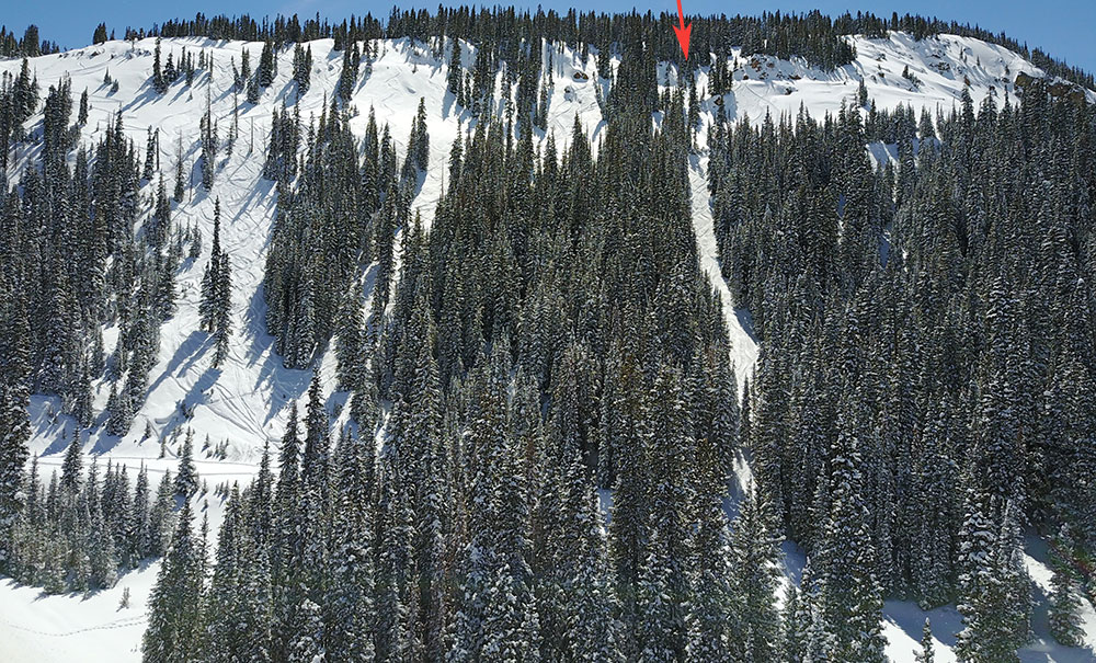
The skiers left most chute through the 90s and one a line that you may end up in if you drop straight down from the aquaduct. This is a North/Northeast facing line. The average slope is around 25 degrees but it hits a maximum of about 35 degrees. There is the danger of a slide here throwing you into trees at high speeds.
Maps
*All Mapped Areas are Approximations
Avalanche Reports
12/25/2017 - (Multiple Reports)
12/07/2014 - (Below Aquaduct in 90s)
11/14/2014 - (Multiple Storm Slabs)
02/18/2013 - (Multiple Reports)
12/19/2012 - (Multiple Storm/Wind Slabs)
Images
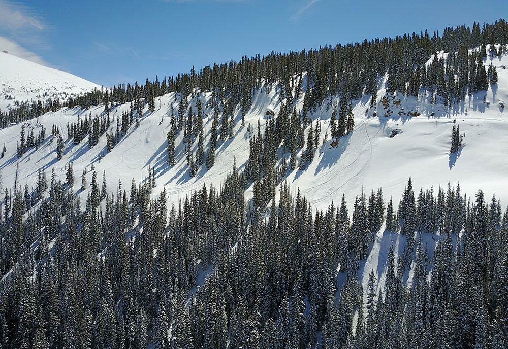
The top of the 90s area
Flume
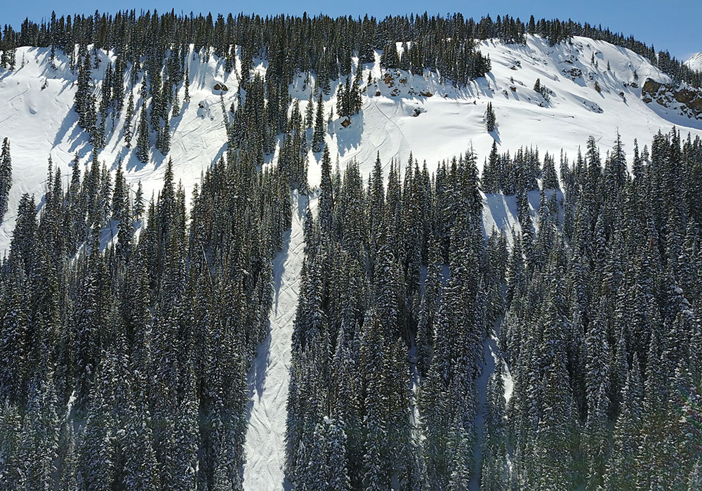
Flume Upper Entrance
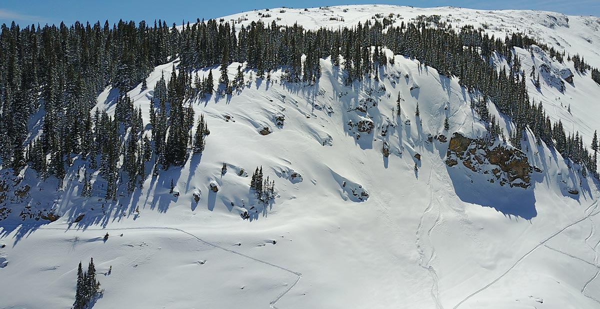
Hourglass Cliffs and Surrounding Zone
Websites
Guide Books
Backcountry Skiing: Berthoud Pass, Colorado by Rob Writz
(Links to guidebooks may be affiliate links)
Videos
All videos are Copyright their respective owners. These are 3rd party videos hosted on YouTube or Vimeo and we make no guarantees as to their accuracy or relevance.
2015/02/23 With Greg Kevin & Stevan @ Berthoud Pass: 02/23/2015
Find Nearby Zones
*All Mapped Areas are Approximations